Examining drill-target precision, multi-modal data fusion, and measured reduction in meters drilled per discovery milestone across active greenfield exploration basins.
42%
Reduction in Drill-to-Discovery Ratios
3.8km
Deep Cover Penetration Accuracy
99.4%
Geophysical Anomaly Correlation
Basin Case Studies
AI-Driven Mineral System Modeling in Action
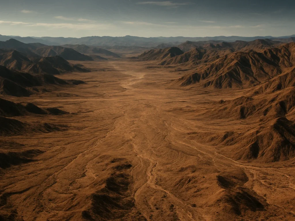
Lithium Pegmatite Basin
Targeting Blind Pegmatites Under Deep Regolith Cover
Fusing satellite hyperspectral data with multi-channel radiometric surveys, our subsurface models identified concealed lithium-bearing pegmatites that escaped legacy ground reconnaissance.
Copper Porphyry Belt
Resolving Hydrothermal Alteration Zones at Depth
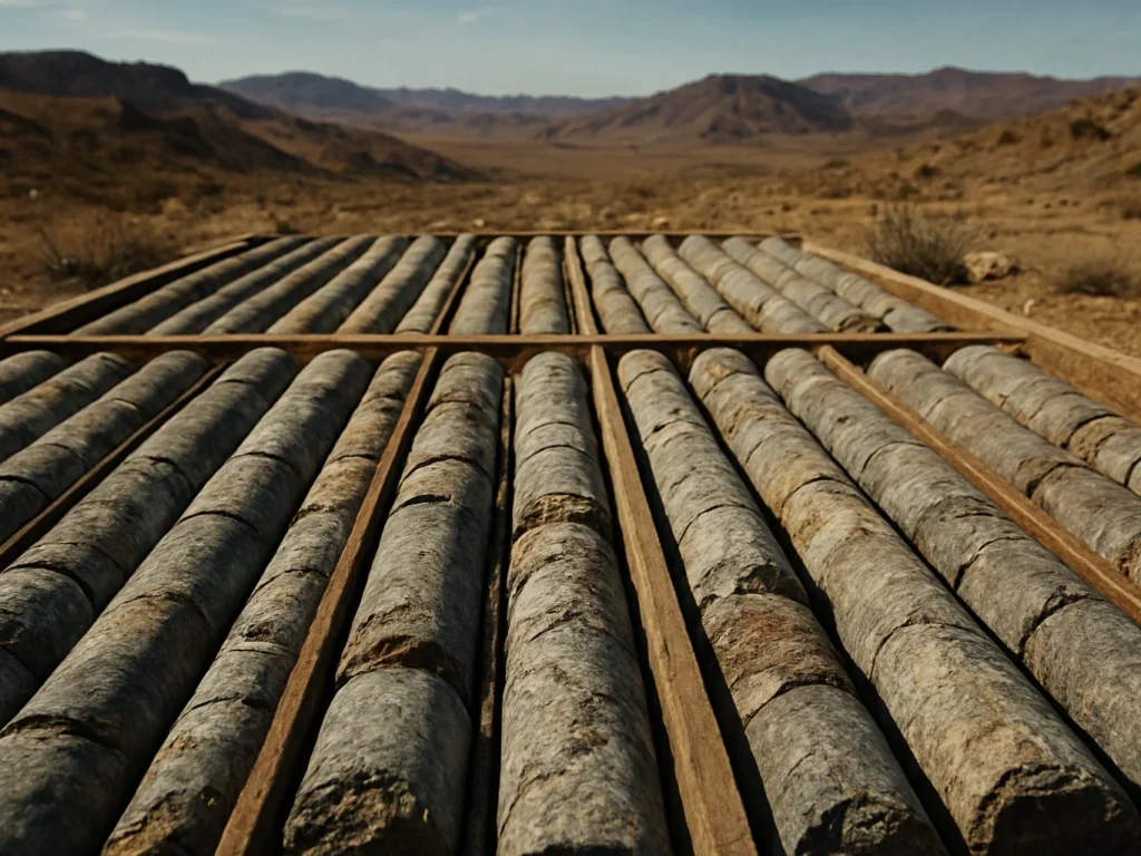
Integrating historical drill logs with high-resolution magnetic inversions to map 3D deposit block models, optimizing step-out drilling positions across complex structural terranes.
Nickel Sulphide District
Accelerating Greenfield Targeting With Spatial Machine Learning
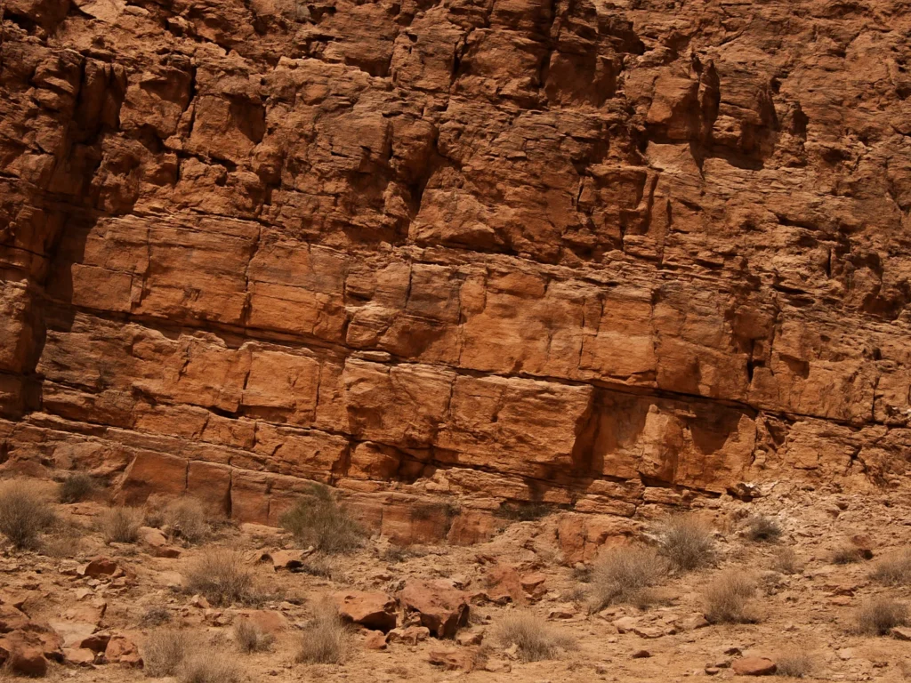
Benchmarking predictive prospectivity against multi-parameter geophysical grids to isolate high-probability ultramafic intrusions prior to core logging.
Geoscientist Perspective
Every target prediction links directly back to observable geophysical anomalies and geochemical evidence. We do not rely on black-box heuristics; we use spatial intelligence that sees through cover.— Chief Exploration Geologist, Active Greenfields Project